Tool · Interactive map
Moonlight Peaks Interactive Map
Tap pins for demo-verified POIs. Filter layers by category. Locked regions stay masked until launch — we never publish fake coordinates.
CatalogPre-launch Demo · updated 2026-07-06Launch updatesPatch log
Fast Answer
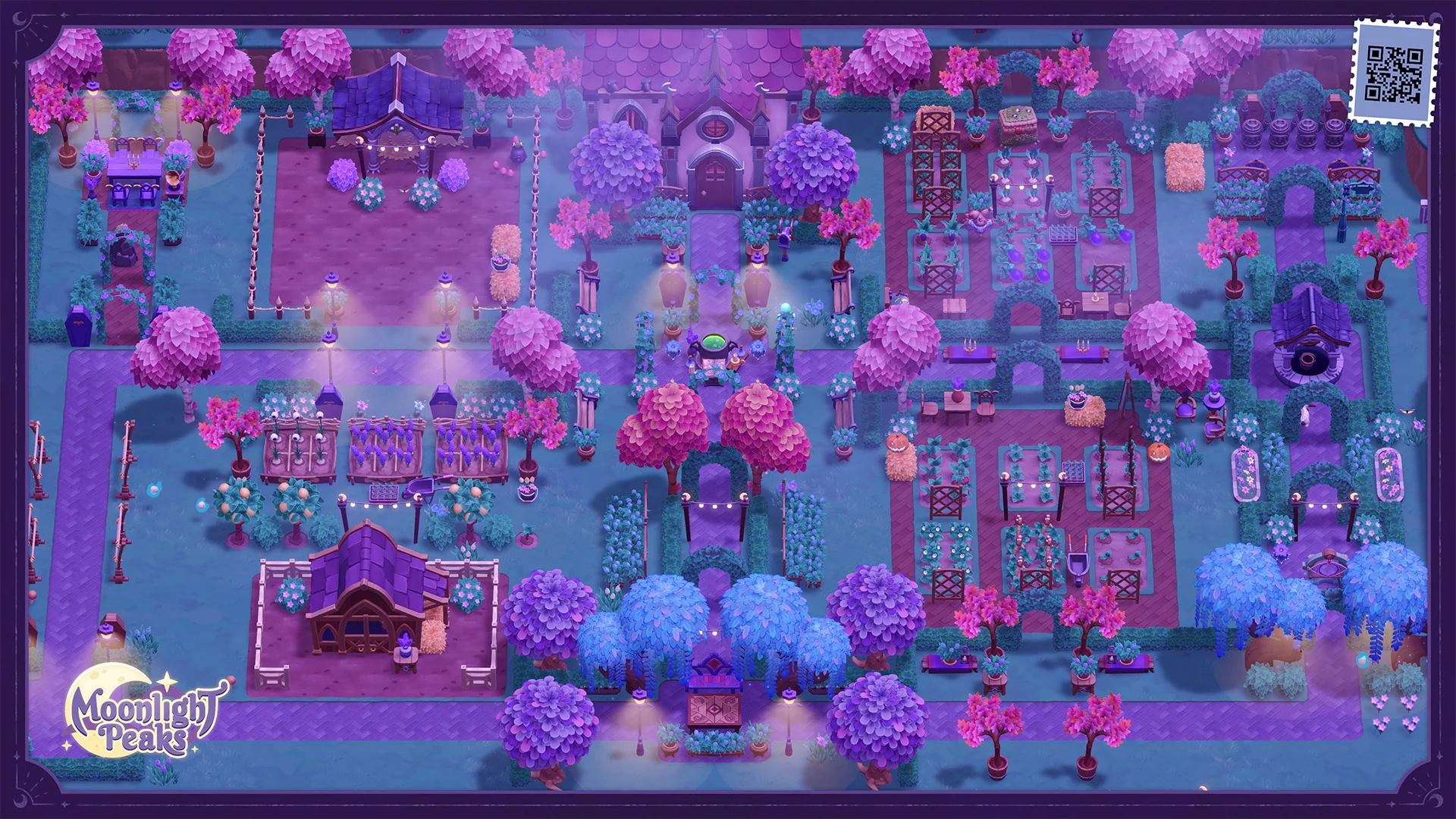
This map uses percentage-based pins on a base image — not a GIS embed. Only POIs with official and store sources appear; everything else shows a launch unlock mask.
Base map from catalog.json → mapMeta.baseMapImage (T1 official screenshot). map-pois currently has 0 published coordinates under D-055; each future point needs a source URL or launch-build evidence. Locked regions are placeholders — not gameplay boundaries.
Keep exploring
North forest — This region unlocks after launch
East highlands — This region unlocks after launch
West coast — This region unlocks after launch
Reference links for this tool
Checked against official store, publisher, and game-site pages when we update this guide.
Interactive Map FAQ
Why are parts of the map locked?
D-055 keeps POI coordinates empty pre-launch. The map uses a verified base image and masks unverified regions so we never publish fake shop, NPC, or fishing GPS. Map guide
How do I add a POI I found in the demo?
Send coordinates and a screenshot through Help. We keep them out of catalog.json until launch-build or publisher-backed evidence confirms the x/y position. Report mismatch
Do filters save between visits?
Yes — your layer toggles and last selected pin are stored in your browser only (localStorage). Nothing is uploaded.
How does this relate to the fish and shops databases?
Fishing species stay on /fish and shop inventories stay on /shops. The map is spatial context only — D-055 publishes 0 coordinates pre-launch. Fish database
Found outdated or unsourced info? Report a mismatch